
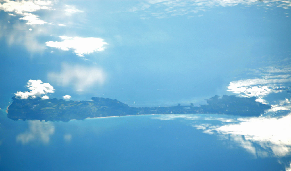
A student who trained at Wilson and then flies the coast for the first time gets a surprise. The air is different, the visibility is different, and the airspace is different. Highland habits do not all transfer. The coast is easier in some ways and traps you in others.
The sea breeze runs the day
On a typical clear coastal day the wind is driven by the temperature difference between land and sea. Morning is often calm. By early afternoon the sea breeze fills in, onshore, and it can build to a brisk crosswind on a runway that was benign at dawn.
That means the same strip gives you a light morning headwind and an afternoon crosswind from a completely different direction. Plan your arrival time with the sea breeze in mind, and do not assume the wind you briefed at Wilson bears any relationship to what you will find at Diani three hours later.
Haze eats your visibility without a cloud in sight
Coastal haze and high humidity can drop slant visibility hard even when the METAR looks generous and the sky looks blue. Flying into afternoon sun through salt haze, you can lose the horizon and the coastline definition that VFR navigation depends on.
This is where pilotage over "featureless" terrain becomes a real skill. The coast gives you a strong line feature, the shoreline, but haze can wash it out. Have your timings, your headings, and a plan that does not depend on seeing an airfield from twenty miles out.
Mombasa TMA: you are in controlled airspace now
Around Moi International (HKMO) you are dealing with a TMA and commercial traffic, not the free-for-all of an upcountry strip. That changes your job:
- Know the airspace boundaries and vertical limits before you get near them.
- Have your clearances and your transponder sorted early, not as you arrive.
- Expect to be sequenced with airline traffic. Fly the speeds and headings you are given.
Diani (Ukunda) sits close to the Mombasa TMA, so a coastal hop that feels like leisure flying still requires you to know exactly whose airspace you are in at every point of the route.
Fuel and distance to Lamu
Lamu and the far north coast stretch your planning. Distances are longer, alternates are thinner, and fuel is not something you assume at a small coastal strip. The fuel-planning discipline that applies upcountry applies double here: phone ahead, confirm availability, and carry honest reserves for a coastline where your diversion options are limited.
The Short Version
- The sea breeze reverses and builds through the day. Morning calm becomes an afternoon crosswind.
- Salt haze can gut your visibility under a clear sky. Do not rely on seeing airfields from distance.
- Around Mombasa you are in a TMA with commercial traffic. Sort clearances and airspace early.
- Long coastal legs to Lamu need real fuel planning and confirmed availability, not assumptions.
The coast is some of the most beautiful flying in Kenya. It also asks you to unlearn a few highland habits and respect airspace and weather that behave nothing like Wilson. Brief it as its own environment and it becomes a joy rather than a scare.
Key Takeaways
- Time your coastal arrivals around the sea breeze, which reverses and strengthens through the afternoon.
- Haze, not cloud, is the coastal visibility killer. Fly on timings and headings, not just on sight.
- The Mombasa TMA means controlled-airspace discipline: clearances, transponder, and sequencing.