
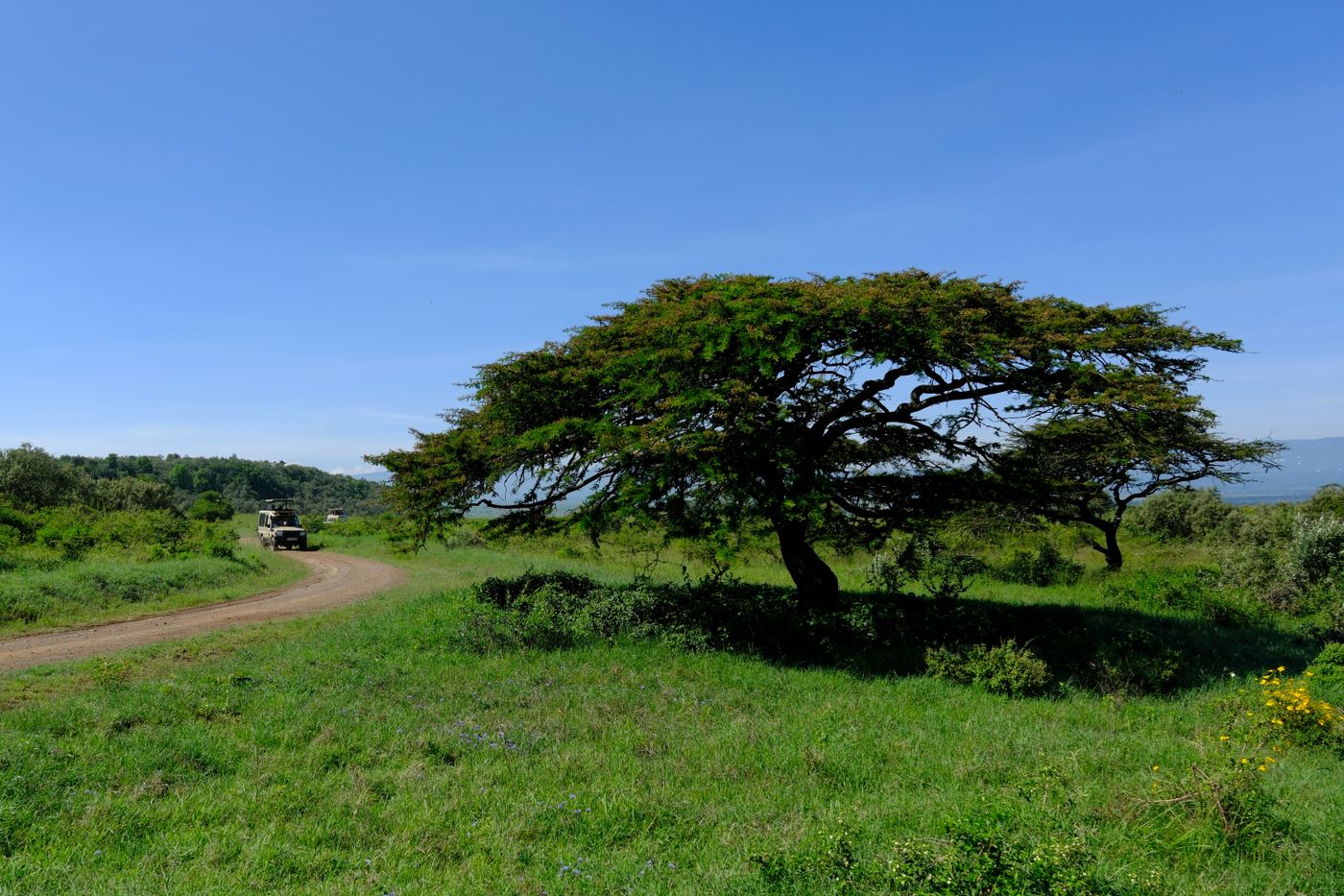
It is 06:45 at Wilson (HKNW). The windsock hangs limp, the METAR reads light and variable with the sky clear, and the whole valley looks like it was built for circuits.
By 14:00 that same sky can be a grey wall stacked over the Aberdares, with the first cells already spitting rain onto the Rift escarpment. Nothing in the morning warned the student who only looked at the morning.
The skill that connects those two moments has a name. It is the pre-flight weather self-brief, and in Kenya it is less about reading a report than about building a picture the reports never quite hand you.
This piece is about the brief you run on the ground, before engine start, with the tools a Kenyan student actually has. It is not about the calls you make once the cloud is already in your windscreen.
The Short Version
- A self-brief is a ground act. You build a weather picture and set personal minima before you walk to the aircraft, not after you are airborne and improvising.
- Kenya's observation network is thin. The main international aerodromes (JKIA/HKJK, Moi Mombasa/HKMO, Kisumu/HKKI and Eldoret/HKEL) issue METAR and TAF, Wilson (HKNW) issues METAR, and most training areas and bush strips have no routine official observation at all.
- The Kenya Meteorological Department runs the official aeronautical service. Its Aeronautical Meteorology Division issues METAR, TAF and SIGMET and provides pre-flight briefings to ICAO and WMO standards.
- A METAR is a point, not an area. The reading at JKIA does not describe the air over the Aberdares 40 km away, and treating it as if it did is the classic Kenyan trap.
- The highland day has a shape. Calm and often clear at dawn, cumulus building through the late morning, and thunderstorms common over the highlands by early to mid afternoon in the rainy seasons.
- A self-brief you cannot turn into a written go or no-go, with numbers for ceiling, visibility, wind and a time to be back on the ground, is not finished.
Self-brief is a ground act, not an in-flight one
The word "brief" gets used loosely, so pin it down. The pre-flight weather self-brief is the structured process of gathering weather information, interpreting it for your route and your time slot, and deciding your personal limits before you commit to the flight.
It ends with a decision made on the ground: go, no-go, or go with defined conditions. Everything after engine start belongs to a different discipline, the in-flight weather decision, where you read the sky in real time and choose whether to continue, divert or turn back.
Insist on the distinction, because the two failure modes differ. A weak self-brief means you launch carrying assumptions instead of limits.
A weak in-flight decision means you had a plan and abandoned it under pressure, the continuation-bias problem covered in the companion piece on weather decision-making for cross-country flights.
The self-brief is where you decide, calmly and with a kettle on, what would make today a no-go. Do it there, so the decision is already made before the aircraft, the schedule and your own optimism start voting.
What Kenya actually gives you, and what it does not
Start with an honest map of your data, because a self-brief built on the wrong expectations is worse than none. Kenya's aviation weather is anchored on a small number of aerodromes and thins out fast beyond them.
The main international aerodromes issue both METAR and TAF: Nairobi's Jomo Kenyatta (HKJK), Moi International at Mombasa (HKMO), Kisumu (HKKI) and Eldoret (HKEL). Wilson (HKNW), where most Nairobi students actually fly, issues METAR.
Everything else is a gap you fill yourself. Nanyuki, Naivasha, Nyeri, the Mara strips and almost every private and bush strip have no routine official observation and no forecast written specifically for them.
The official source behind those products is the Kenya Meteorological Department. Its Aeronautical Meteorology Division issues METAR, TAF and SIGMET and provides pre-flight and in-flight meteorological briefings in compliance with ICAO and WMO standards (Kenya Meteorological Department, Aviation Services).
A pre-flight met briefing is a service you or your school can request from that source, not only something you assemble from a phone app.
SIGMET is the one to respect most in the cruise. It flags hazardous en-route weather such as active thunderstorms and severe turbulence, precisely the conditions a calm field METAR will never warn you about.
Weather is only one layer of the full self-brief, too. The others, from the NOTAMs for your route to your fuel plan, deserve the same discipline you are about to give the sky.
Read the METAR and TAF for what they are: a point, not an area
A METAR (a Meteorological Aerodrome Report) is an observation of the weather at one aerodrome at one time. A TAF (a Terminal Aerodrome Forecast) is a forecast for a small radius around that same aerodrome across a set validity period.
Read every group, but read three with a student's eye. The wind group tells you your crosswind before you ever taxi, the visibility and cloud groups tell you whether the circuit is even legal for you, and the temperature and dew point tell you something the raw numbers hide.
When temperature and dew point sit close together, the air is near saturation. That means high humidity, a low chance of a clear circuit, and a real risk of mist or fog forming or lifting slowly.
A JKIA morning reading of, say, 14 over 13 is a different day from 24 over 8, even though both can look flyable at a glance. That gap is often the most useful thing on the line.
The QNH sets your altimeter, and at Kenyan altitudes that is no footnote. Wilson sits well above 5,000 ft, so density altitude is already working against your climb before weather adds anything, a link explored in the piece on density altitude in the Kenyan highlands.
Here is the discipline that separates a real self-brief from a ritual. The METAR describes the field, not the sky over your training area.
The JKIA reading does not describe the air above the Aberdares, and the Wilson METAR does not tell you what the ridge line north of the city is doing at the moment you arrive there. Treat a point observation as an area forecast and Kenya will eventually teach you the difference the hard way.
The daily rhythm of the highlands: why 07:00 and 14:00 are different countries
Kenya's Central Highlands run a convective cycle you can almost set a watch by during the rainy seasons. The ground cools overnight, the dawn air is stable, and the early morning is usually the calmest, clearest window of the day.
As the sun heats the high ground, air rises, moisture condenses, and cumulus builds through the late morning. By early to mid afternoon those clouds can mature into thunderstorms over the highlands and the windward slopes, then decay again towards evening.
This is why a Kenyan instructor guards the morning slot so jealously. The 07:00 sky and the 14:00 sky are not the same weather rolled forward, they are different regimes, and a self-brief that only checks conditions "now" has read half the story.
The pattern is sharpest over the highlands, but it is not the only regime you brief for. On the coast around Mombasa (HKMO) the sea breeze and high humidity drive the build-up, near Kisumu (HKKI) the lake breeze off Lake Victoria sets its own timing over a basin known for vigorous storms, and over the Rift the story is less about convection than about wind pouring across terrain, which the next section takes up.
The practical rule falls out on its own. Fly the morning slot where you can, and treat any afternoon highland sortie in the rains as a plan that needs an early, written cut-off time.
Reading the synoptic picture for the Rift and the coast
Point observations tell you what is happening. The synoptic picture, the large-scale pattern of pressure and wind across the region, tells you why, and what is likely next.
Kenya's seasons are governed by the movement of the large-scale rain band across the equator and the monsoon flow that switches through the year. The long rains fall roughly March to May and the short rains roughly October to December, and both push humidity and instability up on an already active highland baseline.
You do not need to draw the chart yourself. You need to read the KMD forecast and any available synoptic and satellite products well enough to answer one question: is today a day when the atmosphere is primed to build, or a day when a drier, more stable air mass is sitting over the region?
The Rift Valley adds a mechanical layer on top of the thermal one. When the surface wind and the wind higher up disagree in direction across the escarpment, air spilling over the ridge can set up rotor and mechanical turbulence in the valley that no aerodrome METAR will ever report.
This is the reasoning that the sibling article on building a picture from incomplete data develops in more depth. For the self-brief the point is simpler: the synoptic view is how you anticipate the hazard between the aerodromes, in the exact airspace where you have no observation at all.
Turning it into a personal go or no-go before you walk to the aircraft
A picture is not a decision. The self-brief only earns its name when you convert what you gathered into limits you have written down, in numbers, before you leave the briefing room.
Set personal minima that are yours, tighter than the legal VFR minima and tighter than your instructor's, because they are sized to your hours. A sensible student set names four things.
- Ceiling: the lowest cloud base you will accept over your training area and route, with margin measured above the terrain, not above sea level.
- Visibility: a flat figure in kilometres below which you do not launch, comfortably above the legal floor.
- Wind and crosswind: a surface wind and a crosswind component ceiling for your runway and your skill, decided cold, not negotiated with yourself on a gusty morning.
- Time on the ground: the hard clock time by which you will be parked, chosen so the afternoon build-up is still building when you are already tied down.
Then run the pre-departure "what will I do if" exercise while you still have a desk, a chart and no engine noise. What will I do if the ridge is already capped when I get there, where is my alternate, and do I have the fuel and daylight to reach it?
If you cannot answer those with a specific action, you have just found the weak point in the flight before it found you. That is the value of doing this on the ground.
Brief it to your instructor as a position, not a question. "Here is the weather, here are my minima, here is my cut-off time and here is my diversion" is a student thinking like a pilot in command.
Then file the plan. A self-brief flows naturally into a flight plan and the search-and-rescue chain, so that if the weather you briefed turns out wrong, someone already knows where to start looking.
Where Kenyan students lose the self-brief
The same few mistakes recur, and every one of them is cheap to fix on the ground. The most common is briefing the departure and forgetting the return, checking the calm 08:00 picture and never asking what the field will look like at 11:30 when you come back.
The rest rhyme with it. Trusting the nearest METAR as area truth, skipping the clock so the afternoon makes the decision for you, and running the whole brief as a form-filling ritual without ever stating, in numbers, what would make today a no-go.
Frequently asked questions
Which Kenyan aerodromes issue METAR and TAF?
The main international aerodromes issue both: Nairobi's Jomo Kenyatta (HKJK), Moi International at Mombasa (HKMO), Kisumu (HKKI) and Eldoret (HKEL). Wilson (HKNW) issues METAR, and most training areas and bush strips have no routine official observation at all.
What is the difference between a self-brief and an in-flight weather decision?
The self-brief happens on the ground before engine start. You build the weather picture and set your personal minima, and the output is a go, no-go or go-with-conditions call. An in-flight weather decision happens after departure, in real time, when you decide whether to continue, divert or turn back.
Why does the weather change so much between morning and afternoon in Kenya?
The highlands run a daily convective cycle. Overnight cooling leaves a stable, often clear dawn, then solar heating builds cumulus through the late morning into afternoon thunderstorms over the high ground during the rainy seasons.
Can I rely on the METAR from my departure aerodrome for the whole flight?
No. A METAR is a point observation, and the hazard in Kenya usually sits in the air between stations, over terrain nobody is reporting. Combine it with the synoptic and diurnal picture, satellite imagery and local sources before you commit.
Key Takeaways
- The self-brief is a ground act. Build the weather picture and set personal minima before engine start, and keep the in-flight continuation decision separate.
- Kenya issues METAR and TAF at the main international aerodromes (HKJK, HKMO, HKKI, HKEL) and METAR at Wilson (HKNW). Most training areas and bush strips have no routine official observation.
- The Kenya Meteorological Department is the official source, issuing METAR, TAF and SIGMET and offering pre-flight briefings to ICAO and WMO standards.
- A METAR is a point, not an area. Read the field observation for what it is, then use the synoptic and diurnal picture to reason about the air between stations.
- The highland day is calm at dawn and stormy by afternoon in the rains. Convert all of it into written minima and a hard cut-off time, or the self-brief is unfinished.
AngaBrief's pre-flight assessment gives the weather self-brief a place to live, prompting you to record the picture you built and the personal minima you set before you fly. It does not fetch the forecast for you and it does not make the call. The go or no-go decision stays with the Pilot in Command and the instructor.